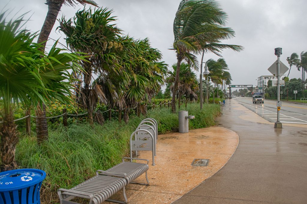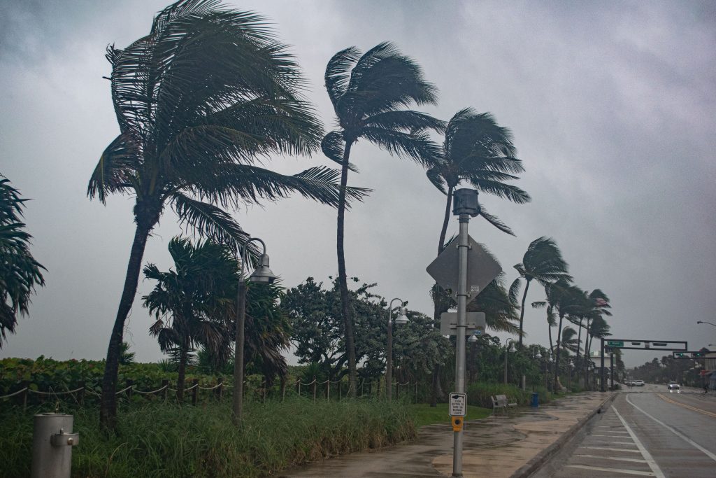
Rain and wind ahead of the onset of Hurricane Milton, Oct. 6, 2024, in Delray Beach, FL. (Photo: Boca Daily News)
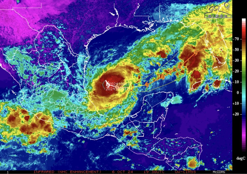
Hurricane Milton is “a rapidly intensifying” hurricane, as described by U.S. Air National Guard “hurricane hunters” who flew their specially-modified C-130 aircraft above the massive storm system Sunday.
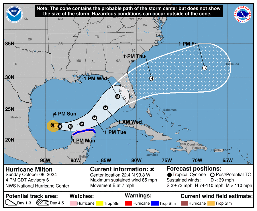
Meanwhile, a track brought the storm a bit farther south than previous forecasts, an trend that could indicate higher rainfall totals in South Florida, while the Clearwater region on the Gulf Coast looked to be the location at highest risk for a potential landfall Wednesday afternoon.
“Milton is forecast to rapidly intensify during the next couple of days and become a major hurricane on Monday,” the National Weather Service said in a statement, after issuing a fresh advisory that upgraded the storm to hurricane status with sustained winds of 85 m.p.h. “Hurricane-force winds extend outward up to 25 miles from the center and tropical-storm-force winds extend outward up to 80 miles.”
Locally in South Florida, a flood watch was in effect through Thursday, Oct. 10.
“Periods of heavy rainfall are likely today through the mid- week period,” the NWS office in Miami said. “A widespread 4 to 8 inches of rainfall will be possible through Wednesday with localized amounts in excess of 10 inches possible.”

Rain and wind ahead of the onset of Hurricane Milton, Oct. 6, 2024, in Delray Beach, FL. (Photo: Boca Daily News)
A watch statement reminded residents that excessive runoff may result in the flooding of rivers, creeks, streams, and other low-lying and flood-prone locations outside of traditional tidal waterways. Flooding may occur in poor drainage and urban areas. Extensive street flooding and flooding of creeks and rivers are possible.
A rip current advisory was also in place, and

Follow Us on Facebook

Police, Fire & Courts
Cops: New York Man, 62, Kicked ‘Defenseless’ Victim in the Face at The Boca Raton

Police, Fire & Courts
Cops: New York Man, 62, Kicked ‘Defenseless’ Victim in the Face at The Boca Raton


