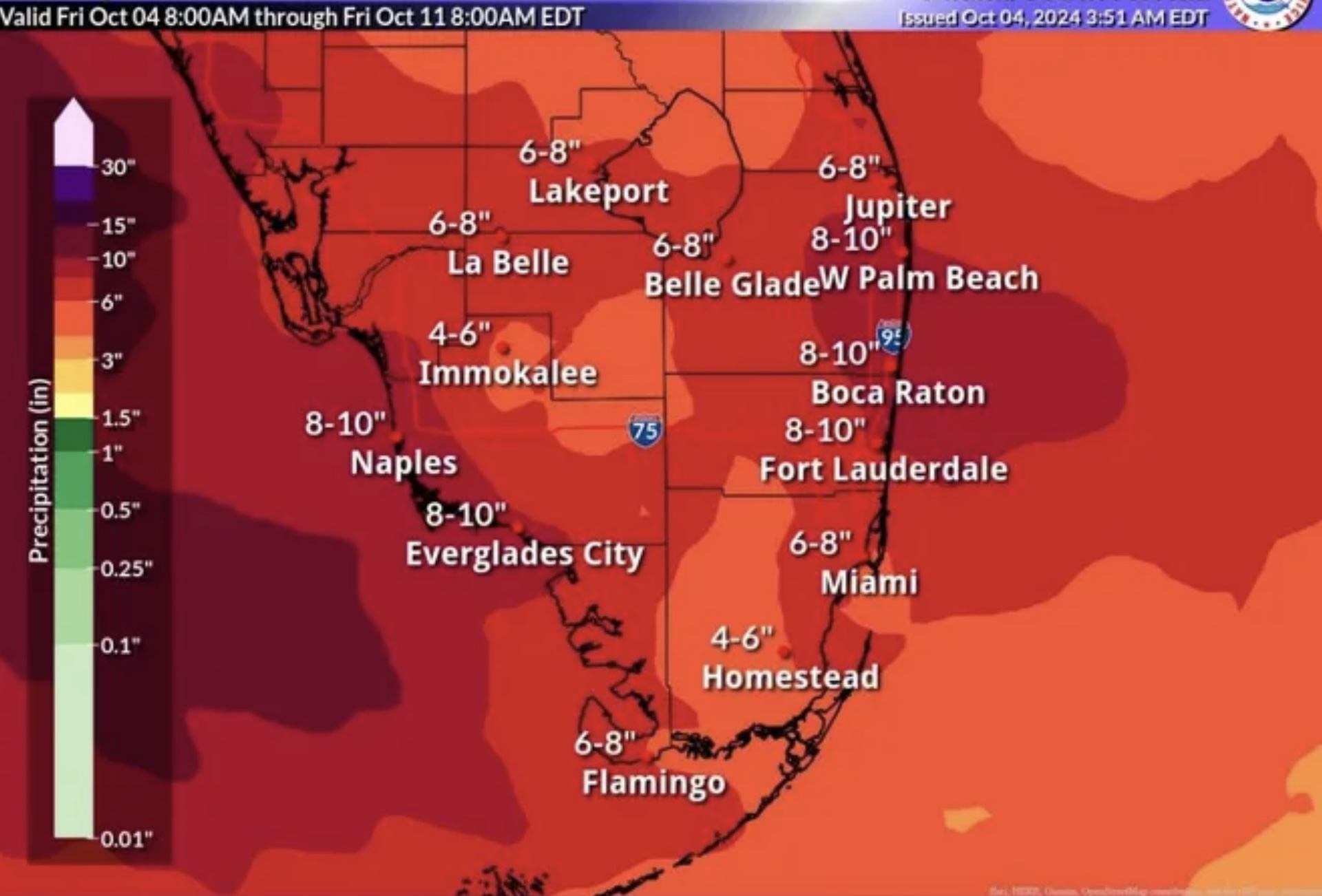
A tropical system is expected to bring large amounts of rainfall to South Florida Oct. 4-7. (Credit: NWS/CIMSS)
A tropical disturbance – whether it develops into a named storm or not – is likely to bring more than a foot of rain to South Florida, forecasters warned Friday.
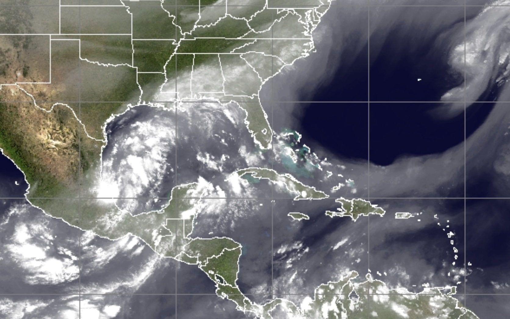
For nearly a week, the National Hurricane Center has been monitoring an area of low pressure in the western Gulf of Mexico, currently located off Mexico in the Bay of Campeche. According to a statement from the hurricane center on Friday, a broad area of low pressure is expected to develop from this system over the southwestern or south-central Gulf of Mexico during the next day or two, and additional subsequent development is possible while the low moves slowly eastward or northeastward.
The storm will likely develop as a subtropical system rather than a traditional tropical depression, storm or hurricane, but is forecast to bring immense amounts of rain to Florida in the coming days.
A tropical system is expected to bring large amounts of rainfall to South Florida Oct. 4-7. (Credit: NWS/CIMSS)
“Regardless of tropical or subtropical development, locally heavy rains could occur over portions of Mexico during the next few days and over portions of the Florida Peninsula late this weekend into next week,” the statement said.
The National Weather Service is forecasting “persistent and repetitive rounds of heavy rainfall” that could lead to flooding beginning Sunday, though the storm’s track may deviate over the next two to three days. The NWS issued a graphical analysis showing 8-10 inches of rain in Palm Beach County, but said higher amounts may be possible in localized areas where thunderstorms produce severe weather. There is the potential for rainfall to reach a foot or more.
“A saturated airmass with a nearby area of slow moving low pressure sets the stage for the potential of heavy rainfall across South Florida beginning today with a peak window period from Sunday through mid/late next week,” the NWS said in a statement issued Friday afternoon. “With persistent and repetitive rounds of heavy rainfall, urban and potentially flash flooding could be realized across the region.”

Police, Fire & Courts
Boca Raton Man, 67, Killed in Lantana Traffic Accident

Police, Fire & Courts
Police Still Looking For Leads in 26-Year-Old West Boca Murder

Police, Fire & Courts
Boca Raton Man Accused of Violating ‘Super Speeder’ Law While Intoxicated

Police, Fire & Courts
Boca Raton Man, 67, Killed in Lantana Traffic Accident


